STAY CONNECTED: Have the stories that matter most delivered every night to your email inbox. Subscribe to our daily local news wrap.

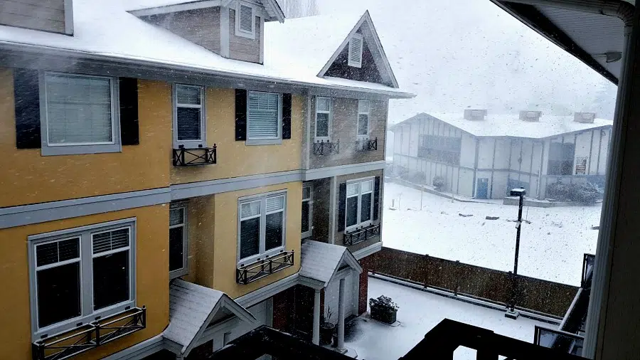
Round 2: Nanaimo expecting another 15-25 cm. of snow

Feb 11, 2019 | 11:24 AM

NANAIMO — The end isn’t in sight for snow-weary residents along Vancouver Island’s coast.

Environment Canada currently predicts between 15 to 25 centimetres of snow will fall in the mid-island area from Duncan up to Campbell River starting Monday afternoon and carrying on until midday Tuesday.

Meteorologist Carmen Hartt said the Nanaimo area is the “sweet spot” for snow and is the hardest hit.

“There’s flurries already happening which is going to pick up (Monday) afternoon and continue until midday Tuesday,” she told NanaimoNewsNOW.

Looking even further ahead, Hartt said more snow is possible on Thursday into Friday.

“There’s not very much time to clean up between these events.”

Hartt said Environment Canada is confident in their prediction for Monday and Tuesday, compared to their Sunday night estimates which were considerably lower than what actually fell. Some areas reported up to 40 centimetres of snow fell in a night.

“With every weather forecast there is a degree of uncertainty. (Sunday’s weather) was actually really tricky. Because it developed so intensely, that’s why it produced so much snow fall.”

Though it’s an intense amount of snow, Hartt said it’s nowhere close to record-breaking.

The most snow to ever fall in Nanaimo was on Feb. 14, 1923 when more than 76 centimetres of snow blanketed the city.

The Weather Network meanwhile is calling for 20 to 40 centimetres for Nanaimo from Monday evening through Wednesday morning.


info@nanaimonewsnow.com

On Twitter: @nanaimonewsnow